Dividing Lake Provincial Park High Point
Posted by Derek on May 13, 2023
Height: 1772 feet / 540 meters
GPS recorded height: 1772 feet / 540 meters
Lat/Lon: N45.39214° W78.59730°
Date Summited: May 6, 2023
Overview:
Dividing Lake Provincial Park High Point is a non-operating/nature reserve class park and was established to protect spectacular old growth pine and hardwood forests. This remote park is situated between the southwestern border of Algonquin Park / Dividing Lake and Rockaway/Dagger Lakes to the west. This area can be accessed via the Dagger Lake Access Road (which can be accessed from Livingstone Lake Road) or via the Wildcat Canoe Route, which links this Nature Reserve to Algonquin Park. The park’s high point is at its southeast side, 500 meters west of the Algonquin boundary line.
Directions/Trip Report:
Make your way to Dorset, Ontario. Just north of the bridge over Lake of Bays turn east off of Highway 35 onto Country Road 12 / Kwagama Lake Road. After 800 meters, the road splits 3 ways. Take the middle road, Livingstone Lake Road for 22.7 km. Turn right onto Dagger Lake Access Road where Livingstone Lake Road makes a sharp turn to the left. On this same sharp bend is a large sign indicating the official Algonquin Park Access Point for Livingstone Lake (#14 on the Algonquin map shown below).
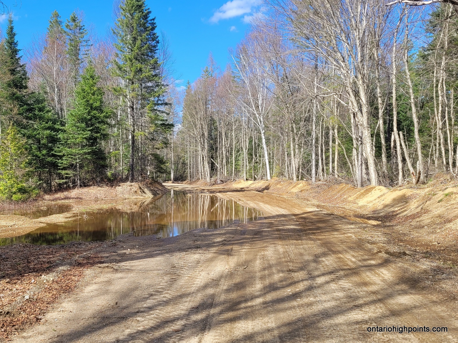
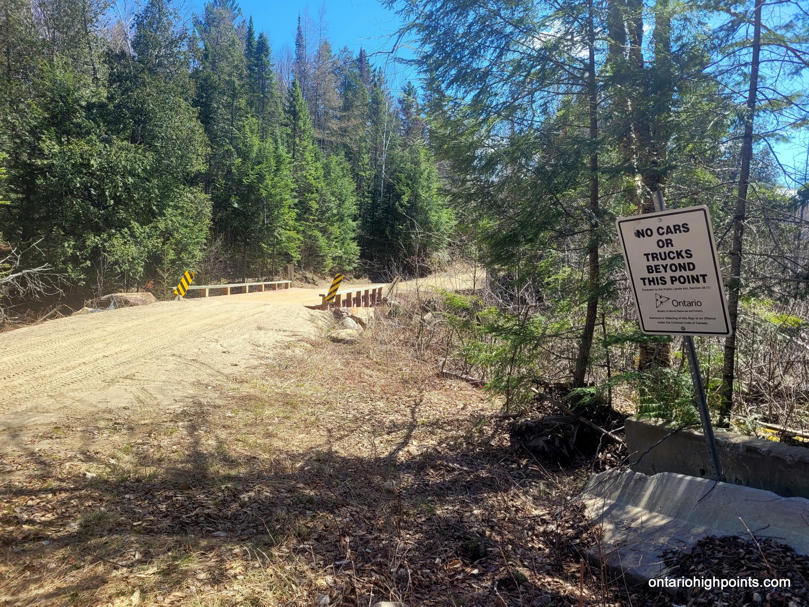
Although rough in a few places, driving carefully, the Dagger Lake Access Road should be navigable for most cars. 8.3 km from Livingstone Lake Road, there is a fork in the road. Take the left fork and follow it 0.2 km to the large grassy parking area before the “No Cars Or Trucks Beyond This Point” signage. If parking here, backtrack 0.2 km to the fork and take the road south. In the spring the Dagger Lake Access Road could be flooded in spots and the muddy conditions could make the road unnavigable for some vehicles. In this case, there is optional earlier parking area at kilometer 3.6 (from Livingstone Lake Road) — continue on foot/bike for 4.5 km to the first fork and turn south (right).
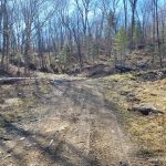
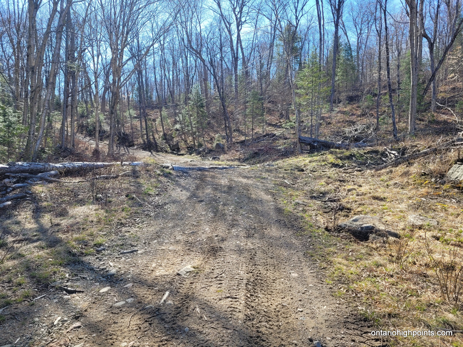
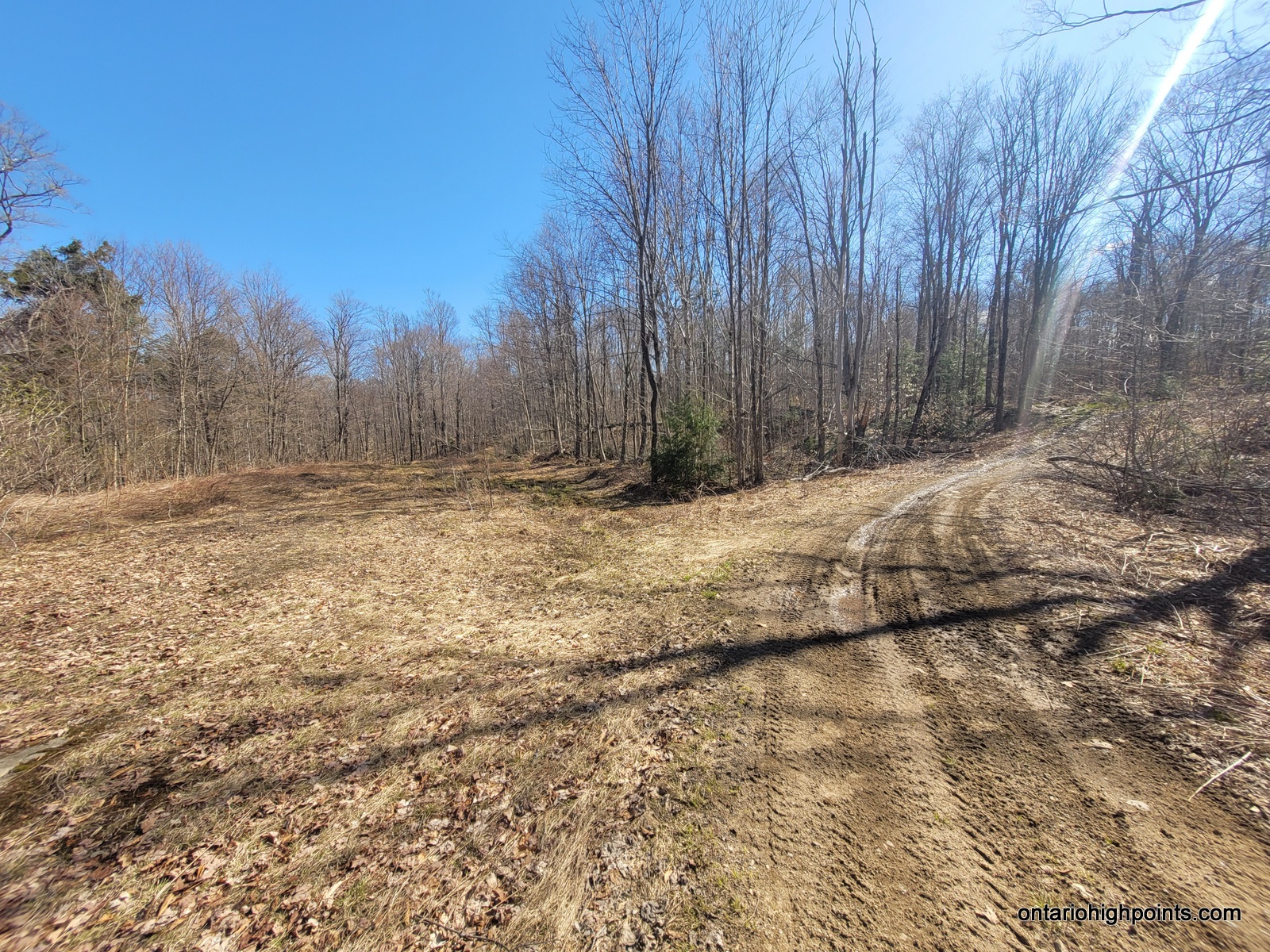
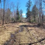
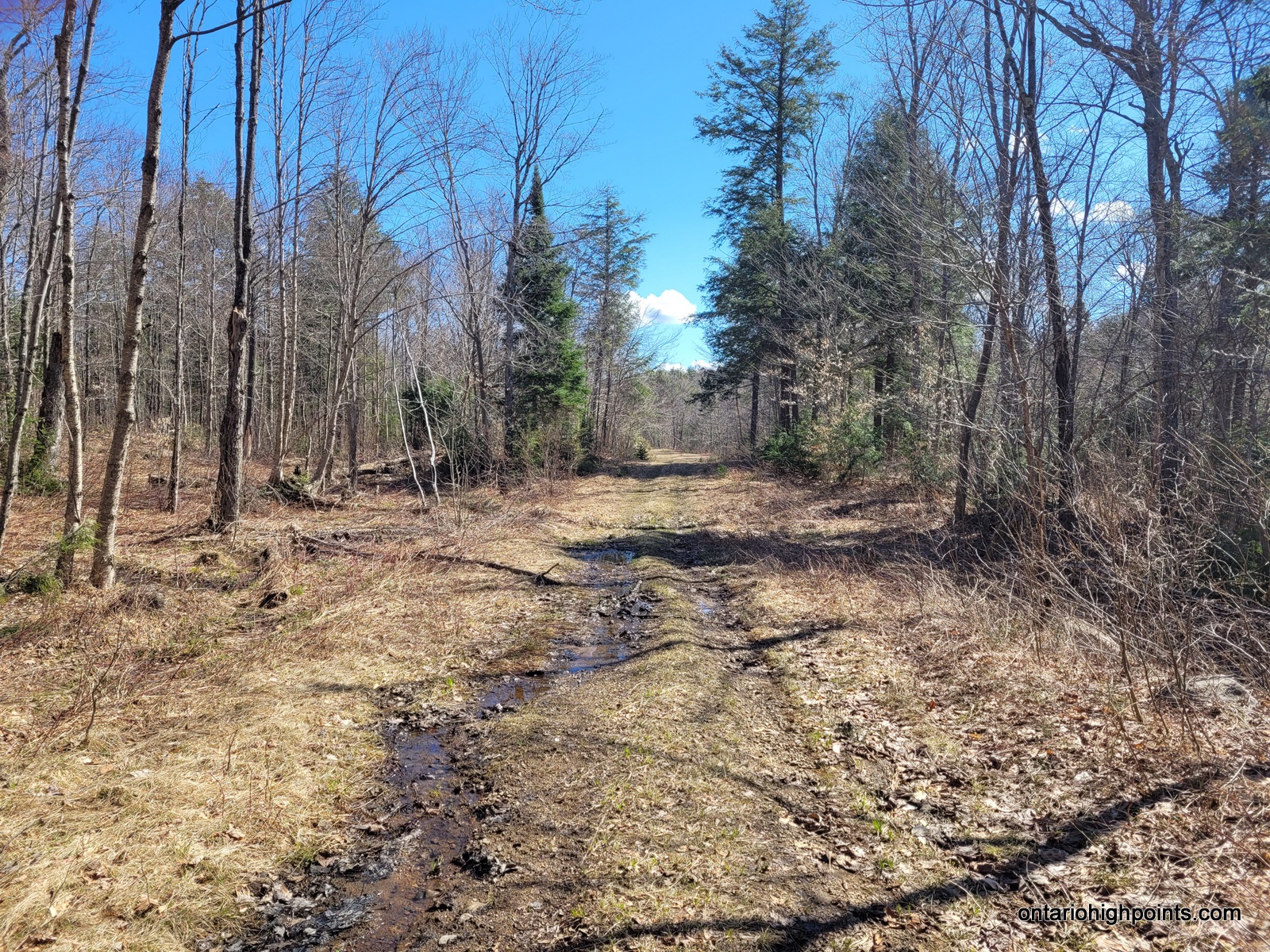
For the next 4.1 km you will follow a series of logging/ATV paths. Turn left at 400 meters, another left at 1.2 km, a right at 1.6 km, another left at 2.6 km, and then another right onto an overgrown trail at 3.3 km. The overgrown trail passes near Butter Lake and eventually ends/becomes unrecognizable after 800 meters from the turn off (about 4.1 km from Dagger Lake Access Road). The remaining distance (2.8 km) to Dividing Lake Provincial Park High Point must be bushwhacked.
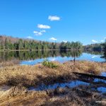
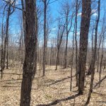
The bushwhack is primarily through open old growth deciduous forest, although there’s a couple marshy areas which might be flooded in the spring. After about 700 meters of bushwhacking you will cross a portage which heads south to a nice campsite on Rockaway Lake (the portage leads to Minkey Lake to the north). Round the northern edge of Rockaway Lake, head ESE and ascend the highlands. A direct approach up the final ridge to the high point is quite steep so it’s easier to ascent the ridge further north. Once on the ridge, turn south and head towards the summit.
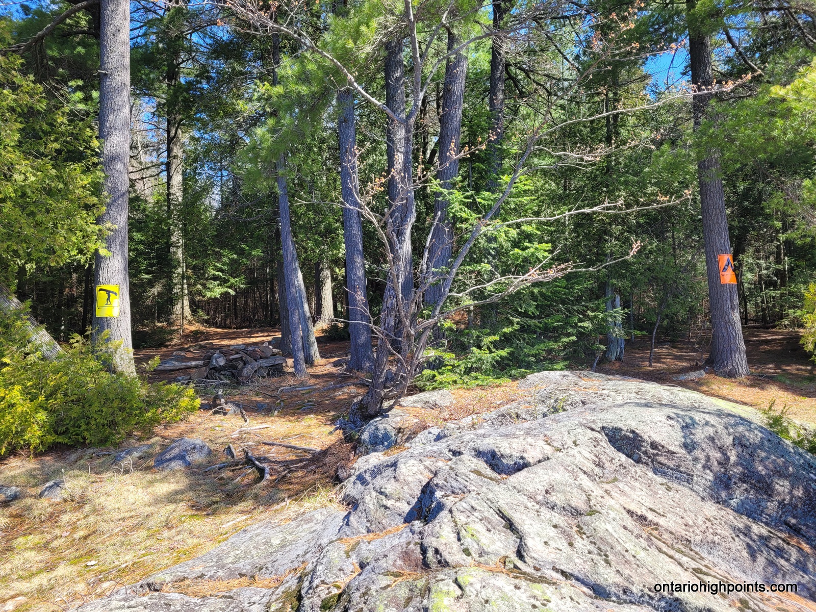
There are 3-4 small rocky bumps along a small north-south ridge which are contenders for the actual high point. It is my opinion that the high point was the southernmost bump. My GPS elevation also indicated this.
View a larger version of the map
Trip Summary:
00.0 km – Turn onto Dagger Lake Access Road (8:49 AM)
03.6 km – Parking area (due to flooded road) (8:59 AM)
00.0 km – Departed parking area on bike (9:13 AM)
04.5 km – Arrived at the fork, turned south (stashed bike, continued on foot) (9:35 AM)
04.9 km – Turned left at the fork (9:45 AM)
05.7 km – Turned left at the fork (9:57 AM)
06.1 km – Turned right at the fork (10:04 AM)
07.1 km – Turn left at the fork (10:18 AM)
07.8 km – Turn right at the fork onto overgrown trail (10:30 AM)
08.5 km – Beginning of the bushwhack (10:45 AM)
09.3 km – Crossing the Rockaway/Minkey Portage (11:00 AM)
11.4 km – Arrived at Dividing Lake Provincial Park High Point (11:52 AM)
11.4 km – Departed Dividing Lake Provincial Park High Point (12:25 PM)
13.2 km – Arrived at Rockaway Lake campsite (1:08 PM)
14.3 km – Completed bushwhack – arrived at overgrown trail (1:39 PM)
18.1 km – Arrived back at Dagger Lake Access Road (2:39 PM)
— Side trip to Peak 561 —
22.6 km – Arrived back at parking area (4:17 PM)
Gallery:
-
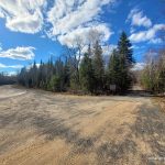
- Turnoff onto Dagger Lake Access Road
-
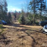
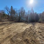
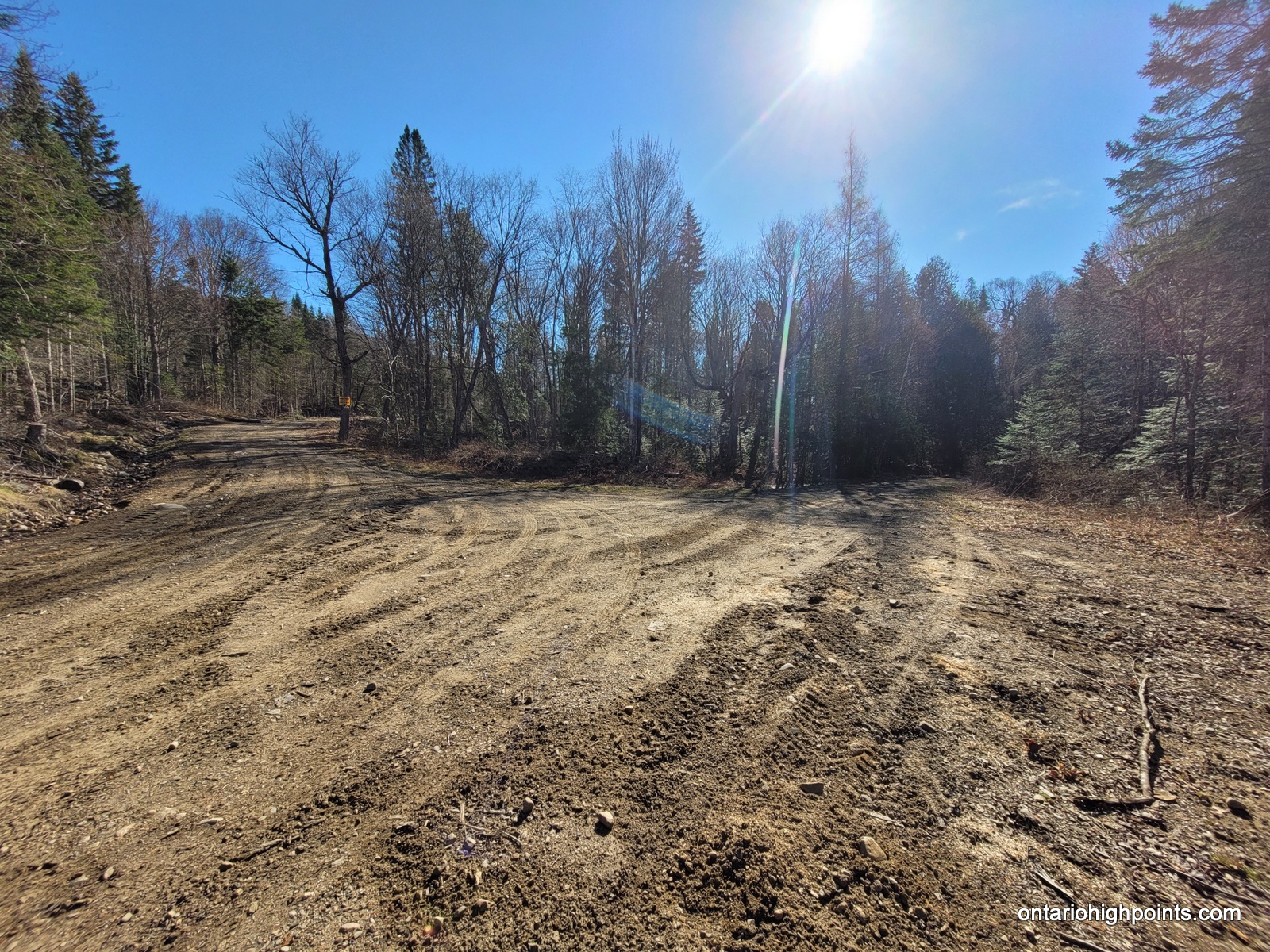
- Parking area (at km 3.6)
-
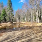
- Flooded Road – Dagger Lake Access Road
-
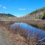
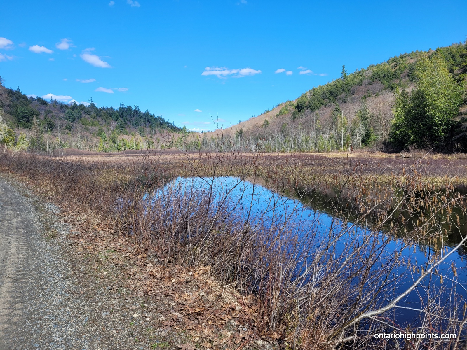
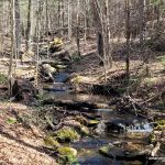
- Hinterland Creek – marshland
-
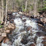
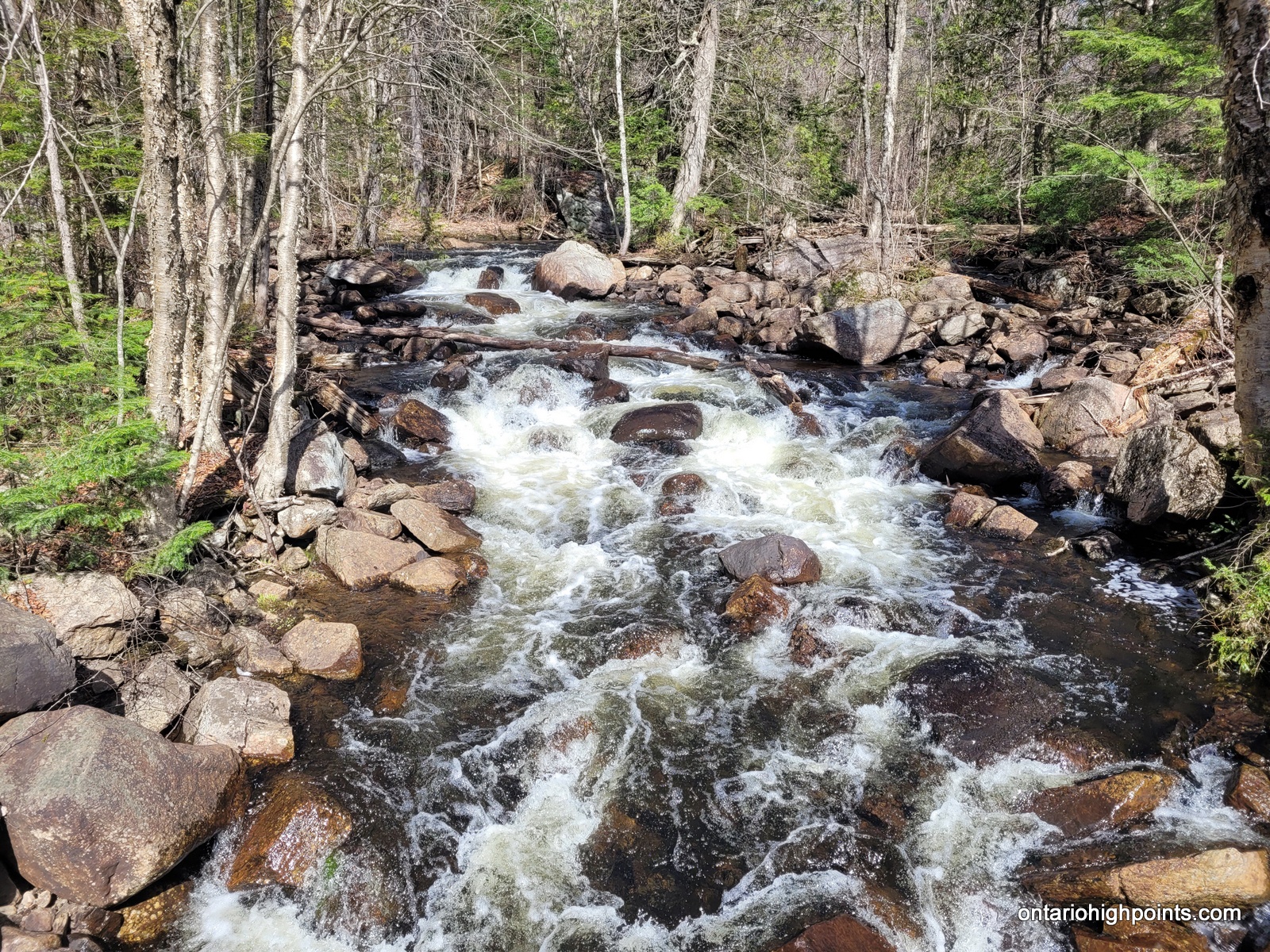
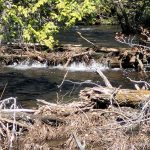
- Hinterland Creek rapids
-
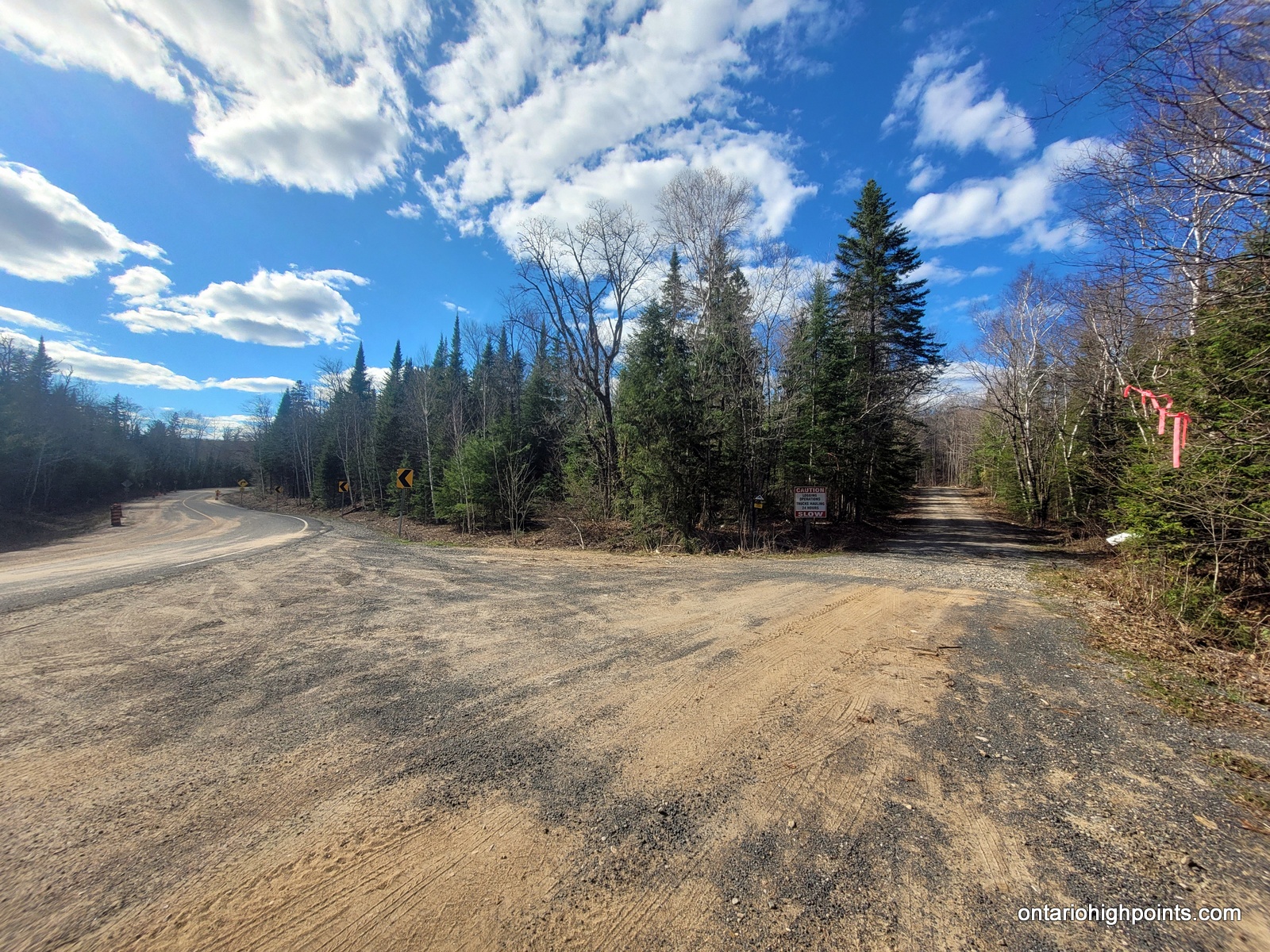
- 1st Fork in the road – turn right
-
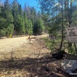
- No cars or trucks beyond this point
-
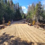
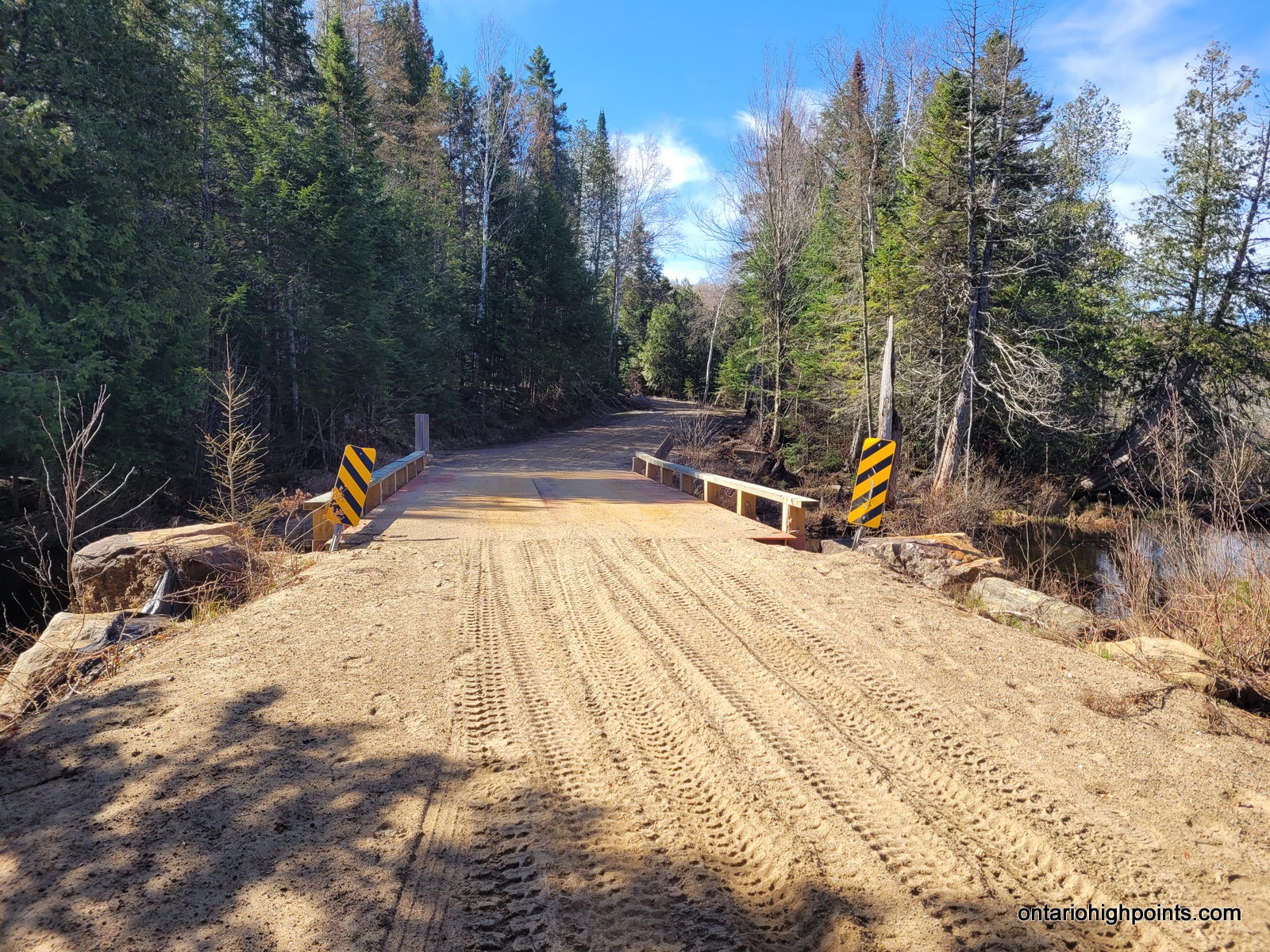
- Bridge crossing Hinterland Creek
-
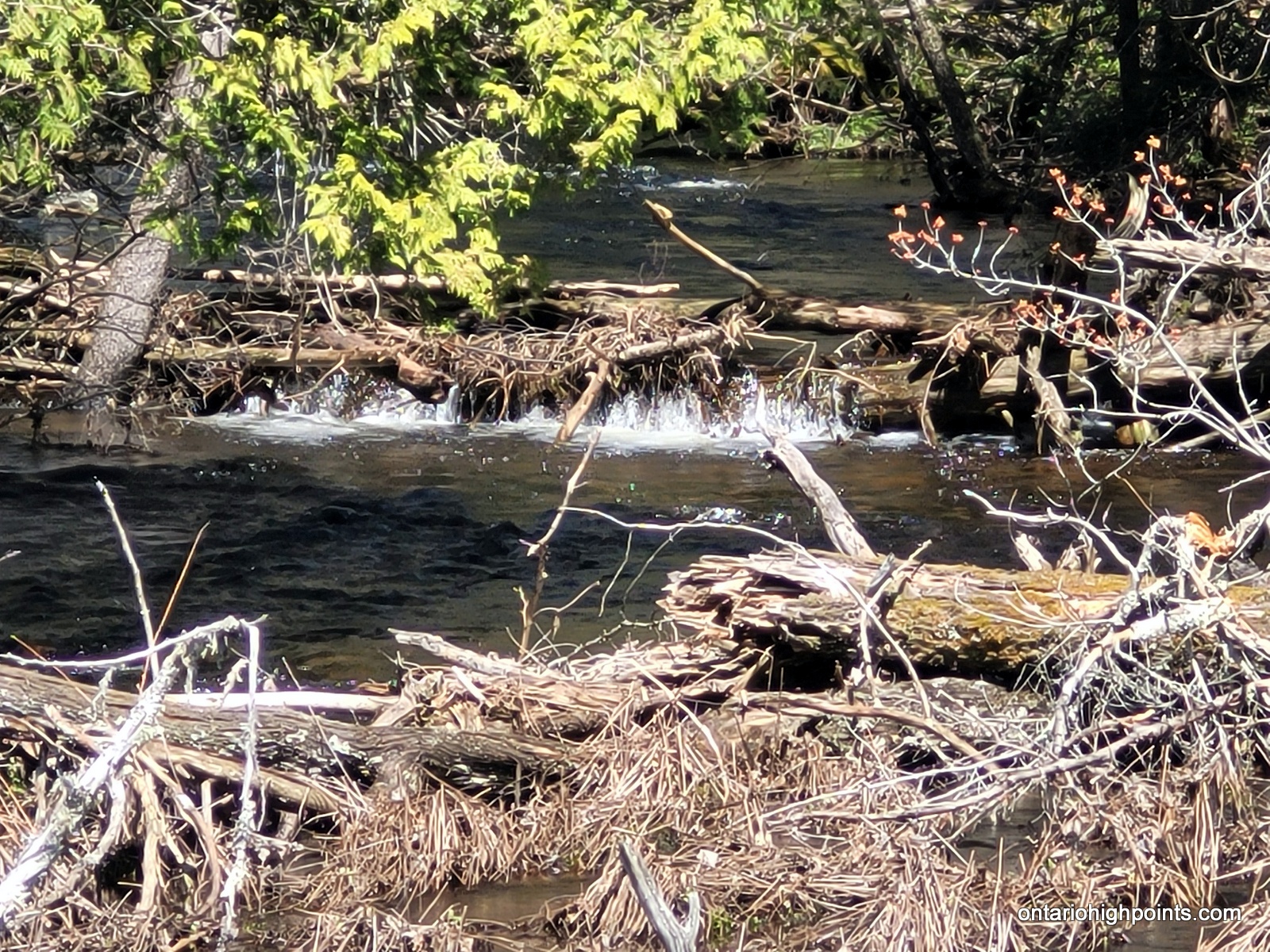
- Hinterland creek – small falls east of the bridge
-
- Hinterland Creek – between Sward and Dagger Lakes
-
- The trail ascends, just beyond the 1st left turn
-
- Right turn #2 at fork
-
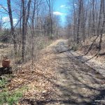
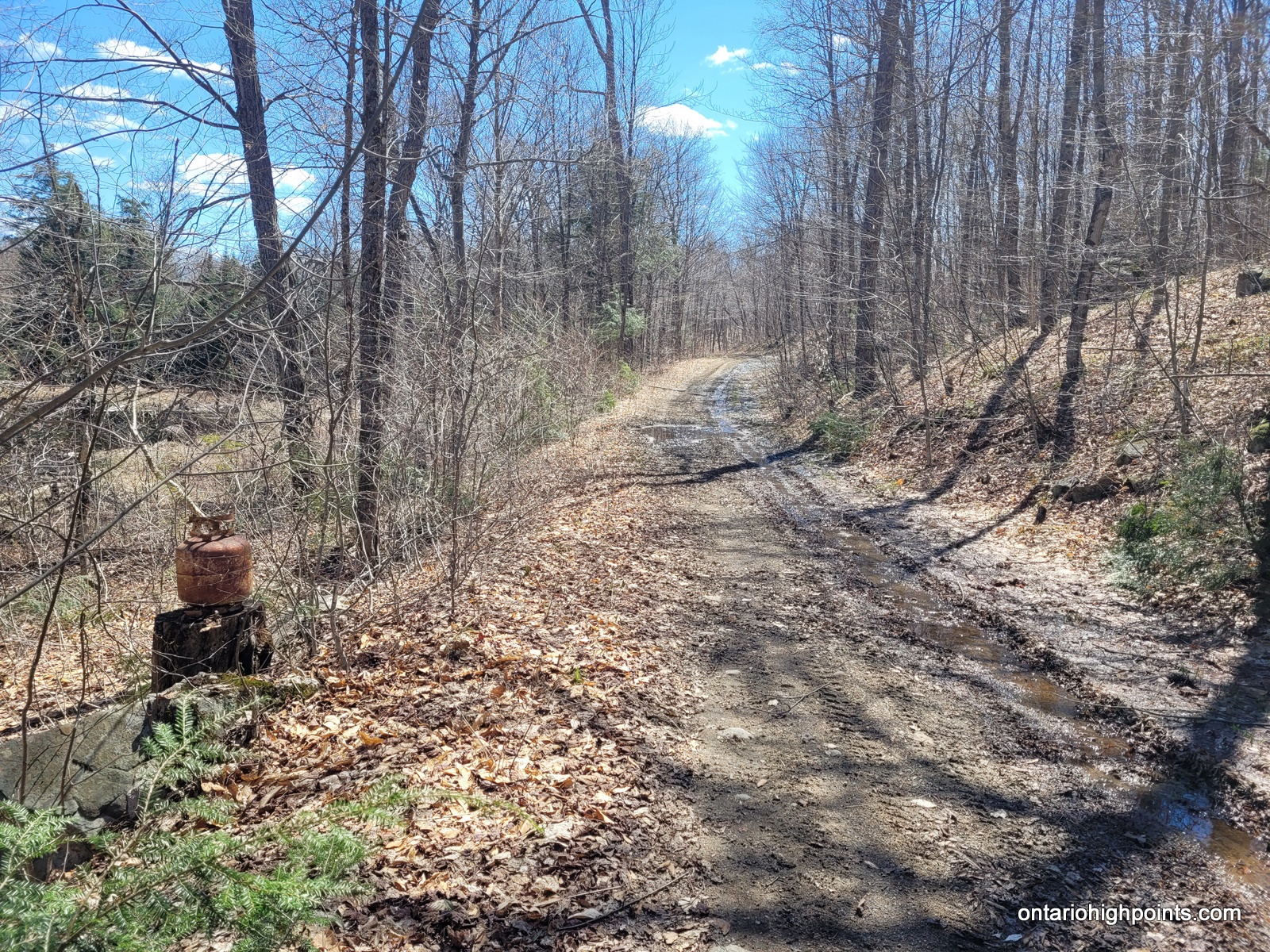
- The trail and a propane tank
-
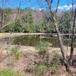
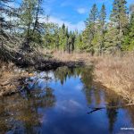
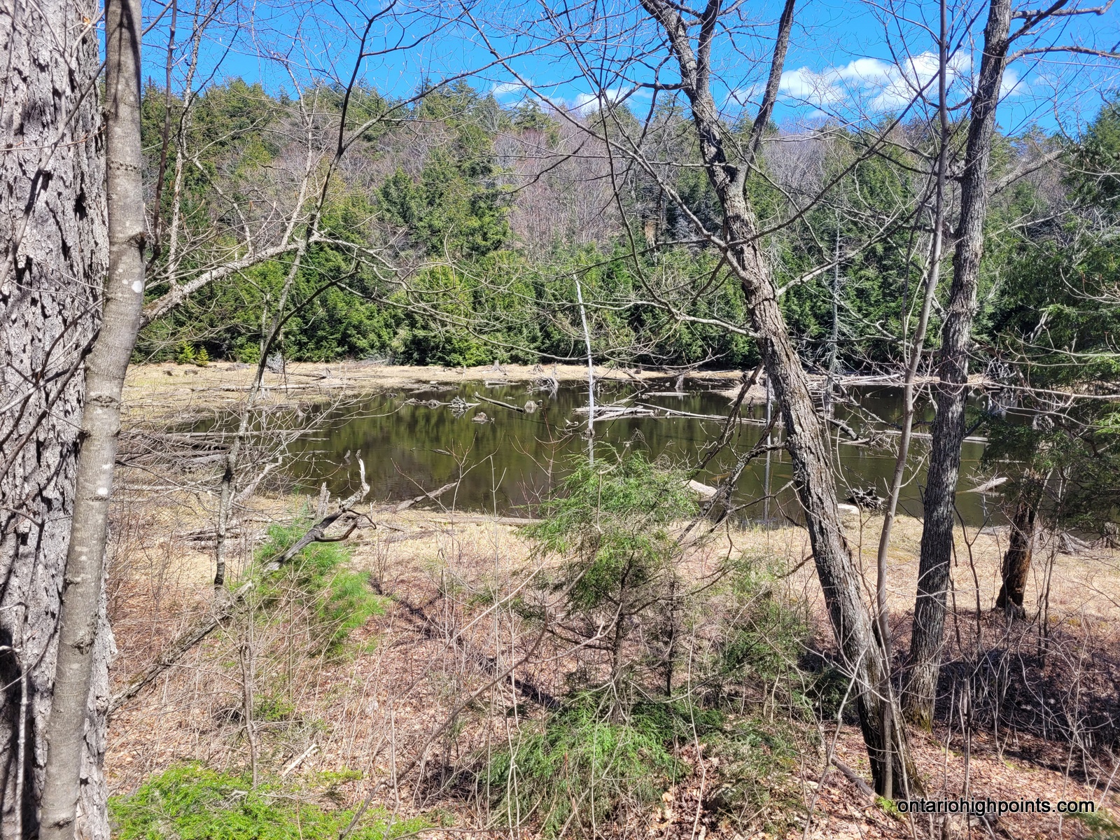
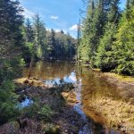
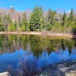
- Small pond on route
-
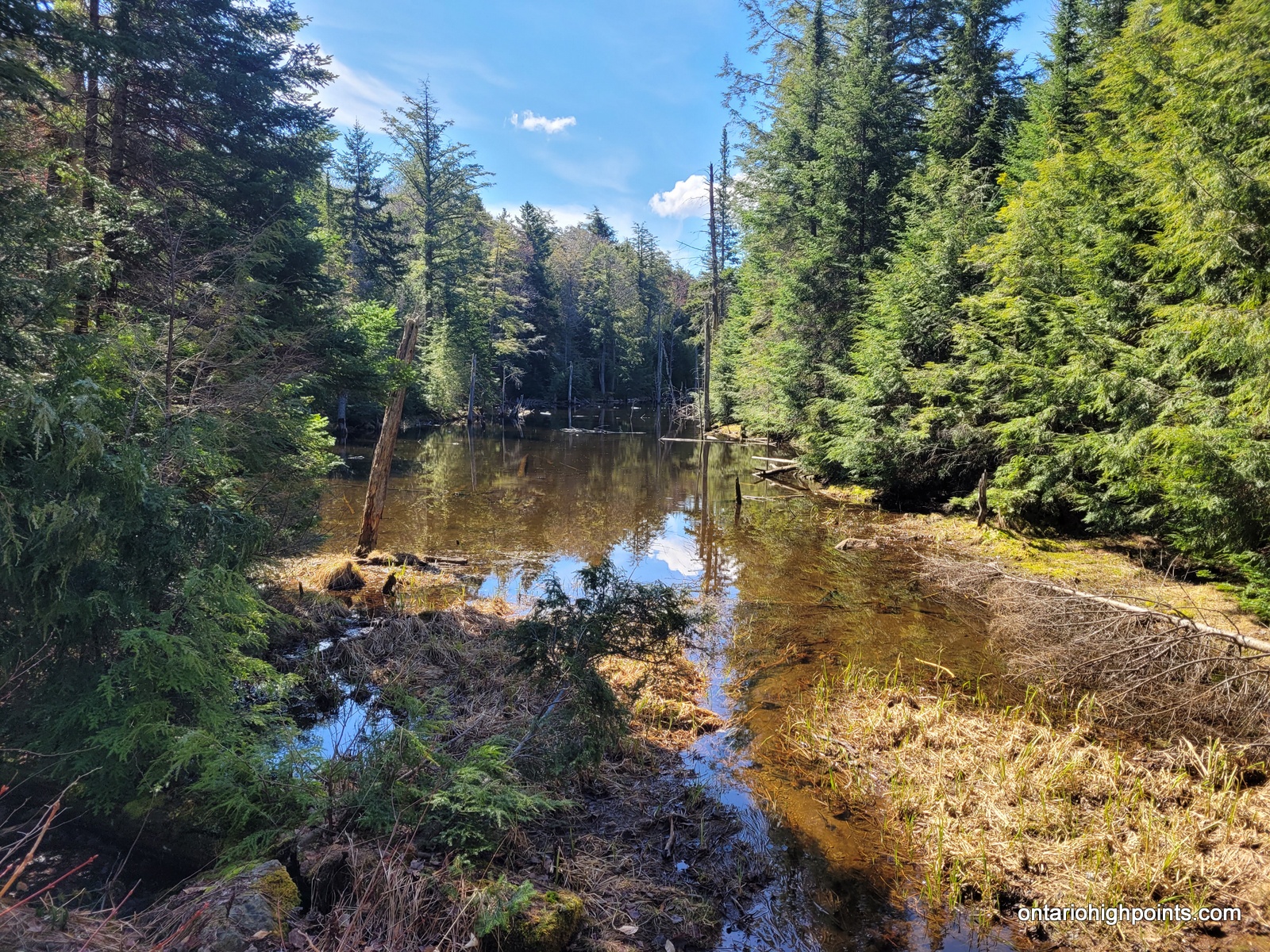
- Passing by a creek
-
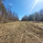
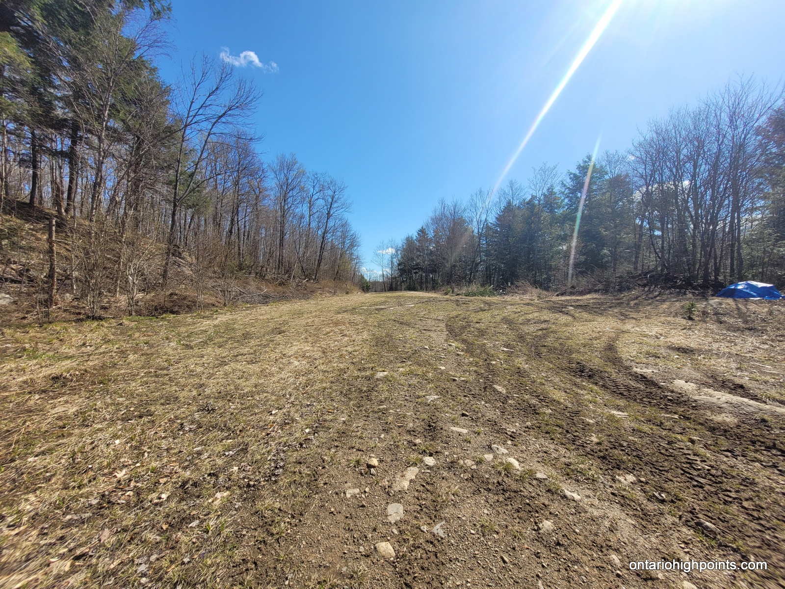
- A clearing
-
- Heading downhill
-
- Butter Lake (near the start of the bushwhack)
-
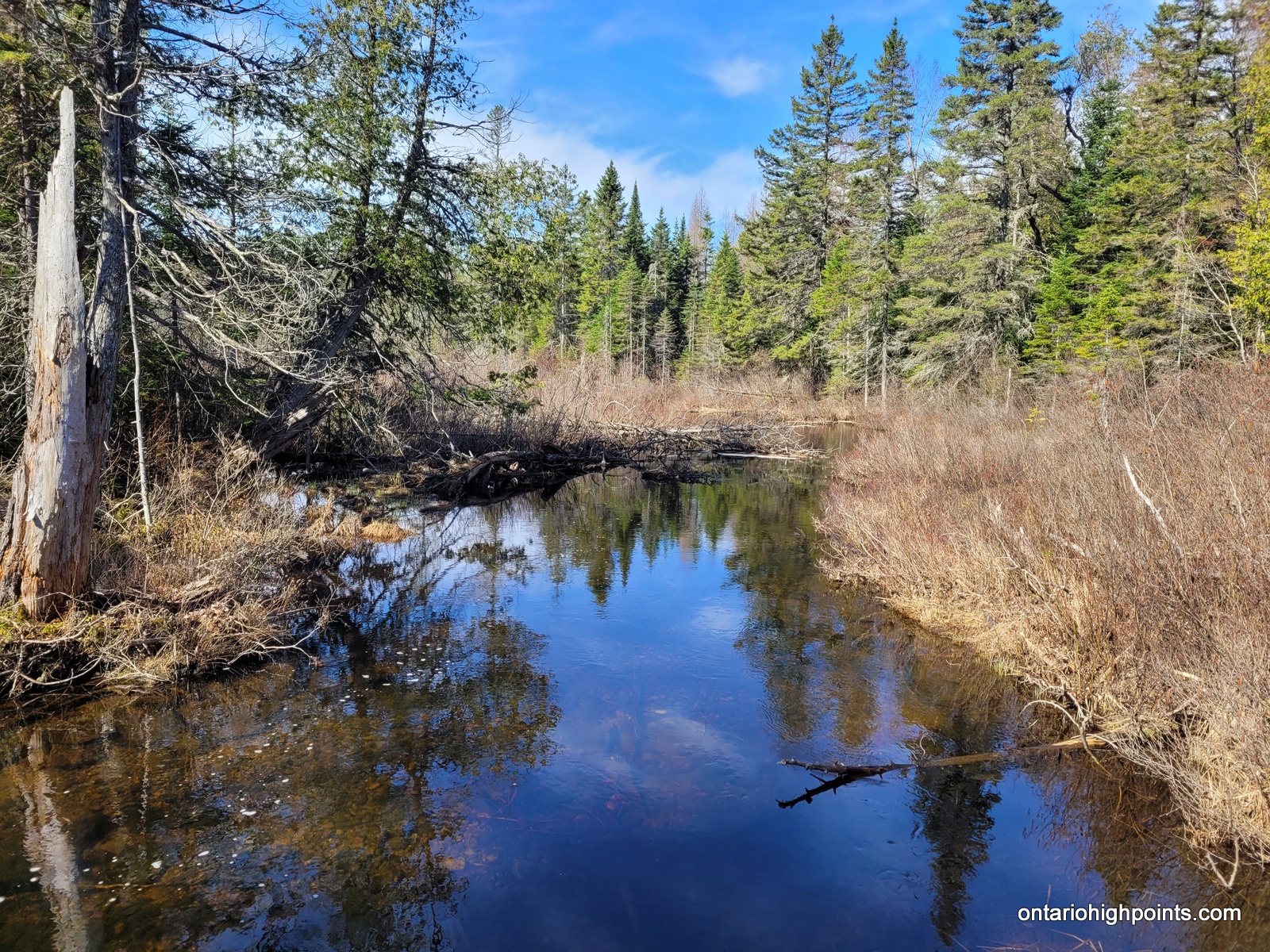
- Creek crossing near Rockaway Lake

-
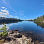
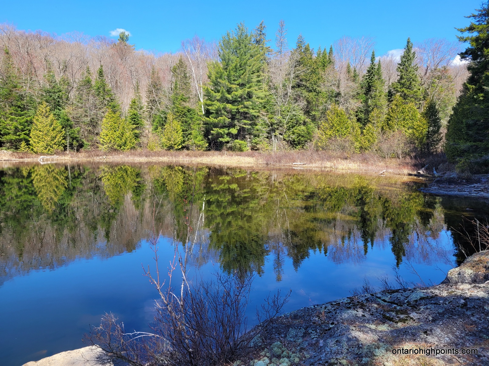
- View of Rockaway Lake at the campsite
-
- View #2 of Rockaway Lake at the campsite
-
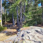
- Rockaway Lake campsite
-
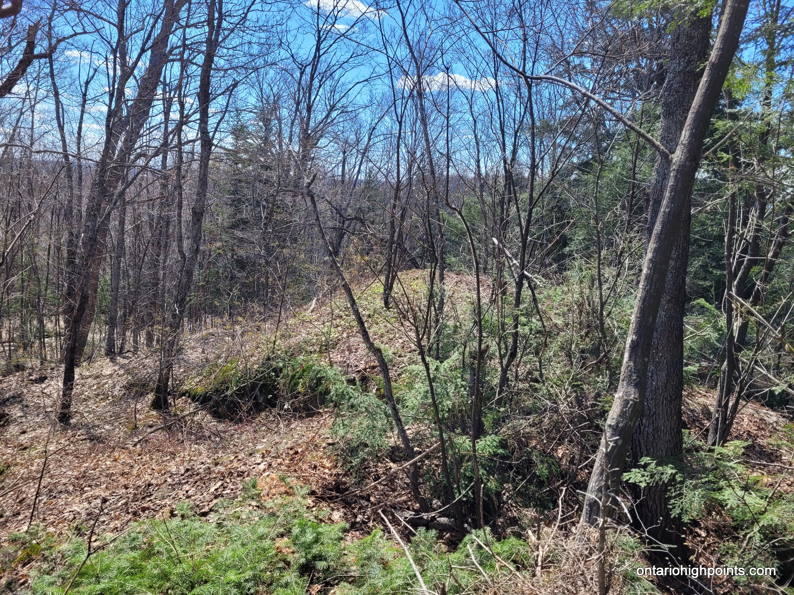
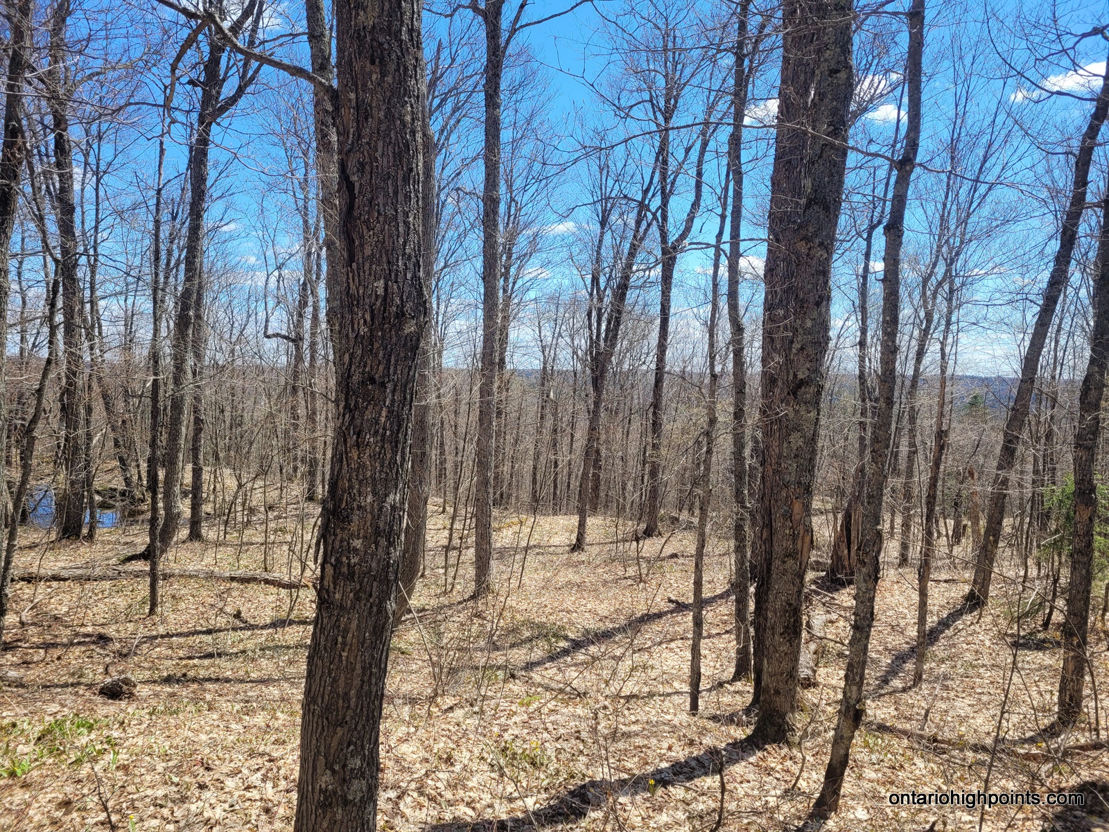
- Dividing Lake Provincial Park High Point ridge
-
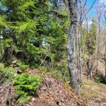
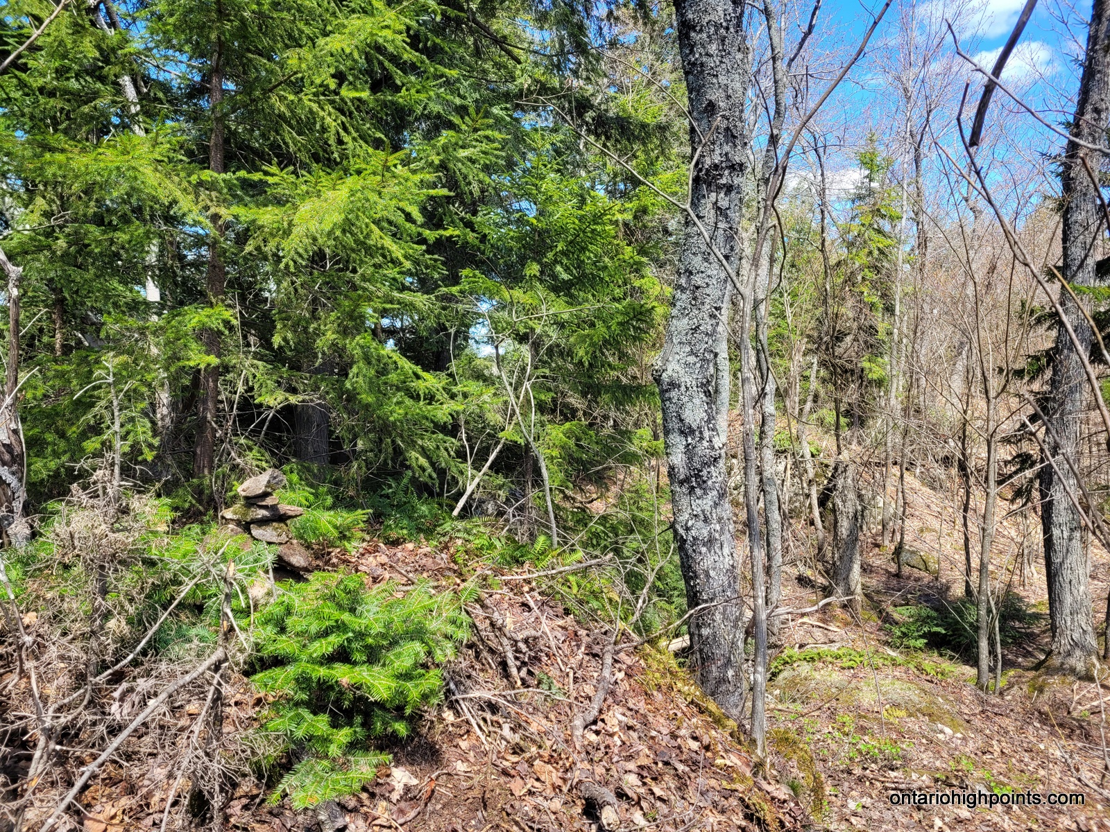
- Dividing Lake Provincial Park High Point
-
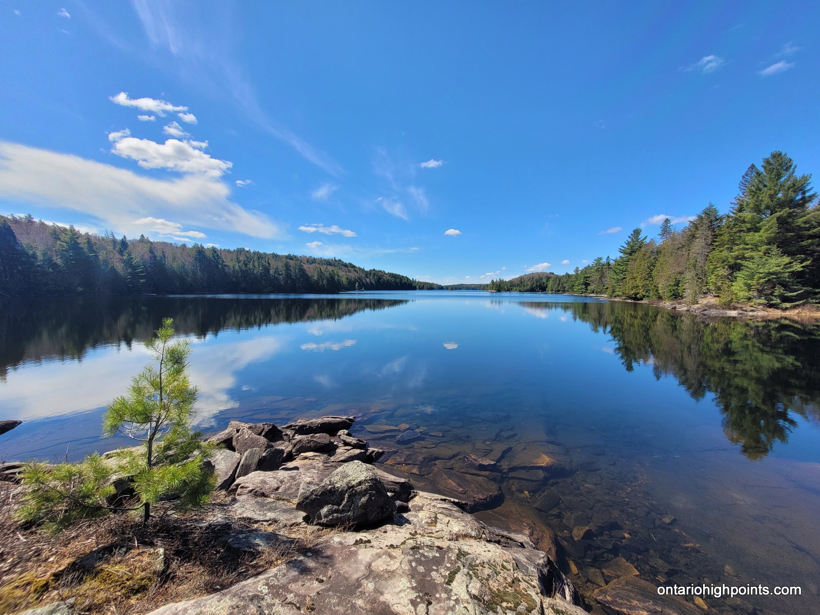
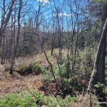
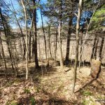
- View from Dividing Lake Provincial Park High Point
-
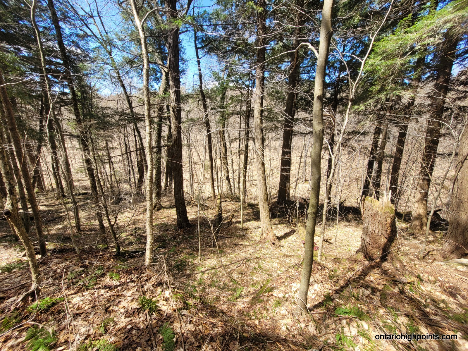
- The steep valley west of the Dividing Lake Provincial Park High Point

GPS Tracklog (GPX Format):
Dividing Lake Provincial Park High Point GPS Track (.gpx format)
Related Links:
Dividing Lake Provincial Park High Point on Peakbagger.com