Head Lake Peak South
Posted by Derek on Jan 8, 2017
Head Lake South Peak
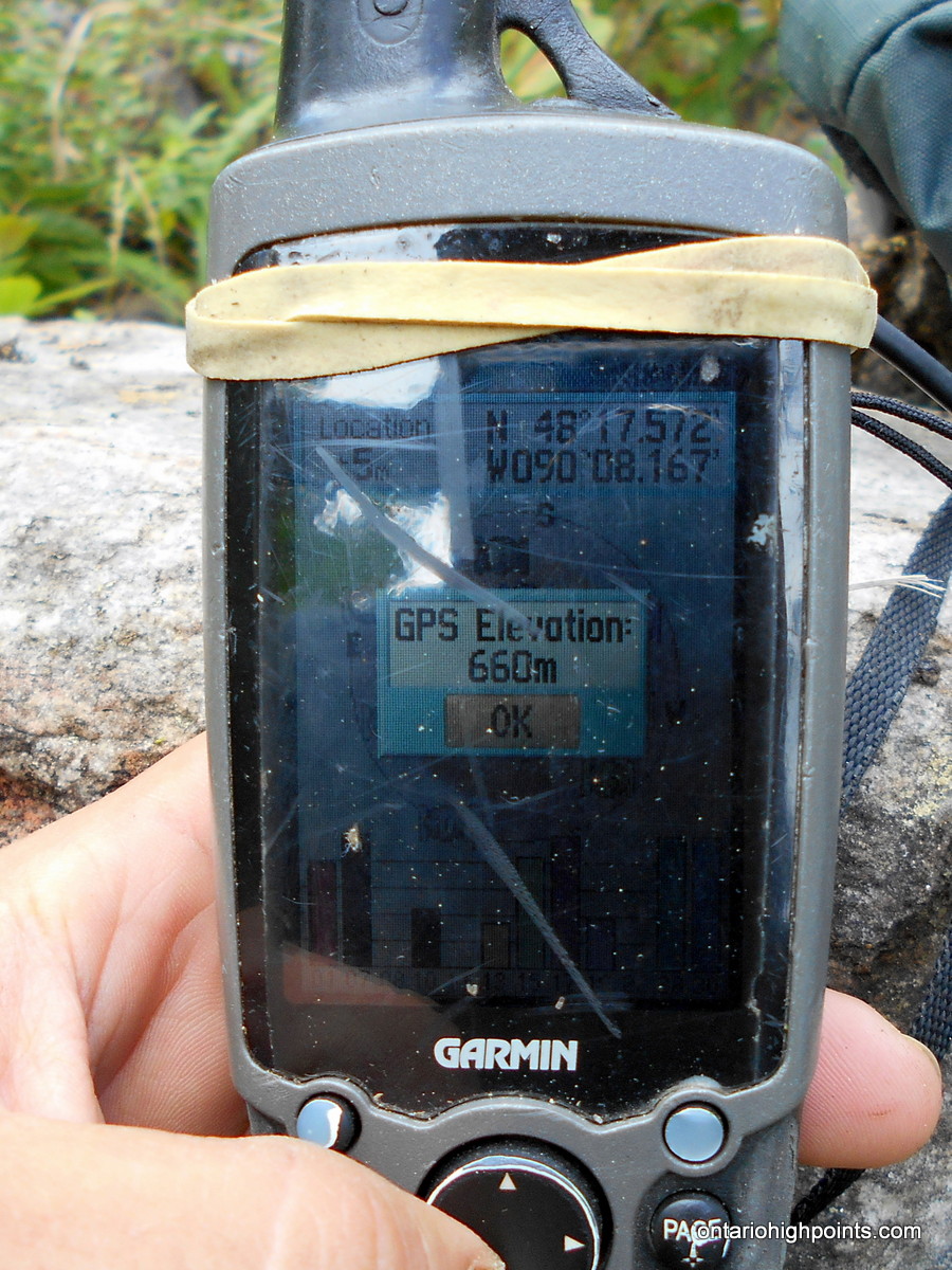
Height: 2133 feet / 650 meters
Lat/Lon: N48.2928 W90.136
Clean Prominence: 164 feet / 50 meters
Line Parent: Head Lake East Peak
Key Col: N48 17.659 W90 07.802 (1969ft / 600m)
GPS recorded height: 2165 feet / 660 meters
Date Summited: July 28, 2016
Overview:
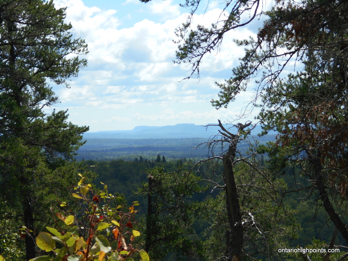
The Head Lake Peaks are a group of peaks situated north of Head Lake in the hills 65 km West of Thunder Bay. Head Lake South Peak shares a ridge with it’s higher neighbour Head Lake East Peak. There are no trails to it, however an overgrown trail passes within 1 km of the summit. There are only limited views at the summit.
Directions:
From Thunder Bay, take Hwy 11/17 west to Kakabeka Falls. Immediately past the falls, turn left onto Hwy 590 and head south, then west along the road. 13.4 km from the intersection with Hwy 11/17 turn right onto Boreal Road. Despite being a gravel road, Boreal Road is well graded and wide. Stay on Boreal Road for 22.8 km until reaching the intersection with Marks Lake Road. Turn left (southwest) onto Marks Lake Road.
Stay on Marks Lake Road for 3.4 km until arriving at a left turn (south) onto a narrow overgrown quad path. As of the time of this report (July 2016), this road is almost completely overgrown, so you’ll need to park at this intersection (N48 22.339 W90 06.701) and proceed on foot. Follow this overgrown road southward, turn right at the fork at kilometer 4.6, and then left at kilometer 5.0. Proceed to the T-Junction at kilometer 8.0. The road on the right makes its way south towards Head Lake Peak East/South, whereas the left road goes east towards Tower Mt.
Turn right and proceed south at the T-Junction, take a left turn at the fork at kilometer 9.3 and then turn right (west) at kilometer 9.9. You’ll arrive at nearest point to Head Lake South Peak (N48 17.981 W90 07.738) at kilometer 10.9 — the start of the bushwhack.
Depart the overgrown road and bushwhack southwest 215 degrees true north (magnetic declination 220 degrees) through forest for 950 meters until reaching the summit.
View a larger version of the map
Trip Summary:
Note: This trip was combined with a trek to Tower Mt.. See this trip report for more information.
00.0 km – Departed Marks Lake Road southbound on bikes (8:05 AM)
00.9 km – Stashed bikes as road was too overgrown (8:20 AM)
08.0 km – Arrived at T-JCT. Right (West) to Head L. South Peak (10:05 AM)
10.9 km – Started bushwhack to Head Lake South Peak (11:10 AM)
12.3 km – Arrived at the summit of Head Lake South Peak (12:10 PM)
12.3 km – Departed Summit of Head Lake South Peak (12:30 PM)
13.7 km – Finished Bushwhack / Returned back to trail (1:30 PM)
16.7 km – Back at T-JCT. Turned Right (East) to Tower Mt. (2:30 PM)
18.2 km – Start of the bushwhack to Tower Mt. (3:10 PM)
19.1 km – Arrived at Tower Mt. High Point Candidate 2 (3:55 PM)
19.5 km – Arrived at Tower Mt. High Point Candidate 2 (4:15 PM)
19.5 km – Departed Summit of Tower Mt. (4:35 PM)
20.6 km – Finished Bushwhack / Back on trail (5:15 PM)
22.1 km – Arrived back at T-JCT. (5:45 PM)
30.0 km – Arrived back at Trailhead on Marks Lake Road (7:35 PM)
* Times reported in Eastern Daylight Time (UTC -4)
Gallery:
-
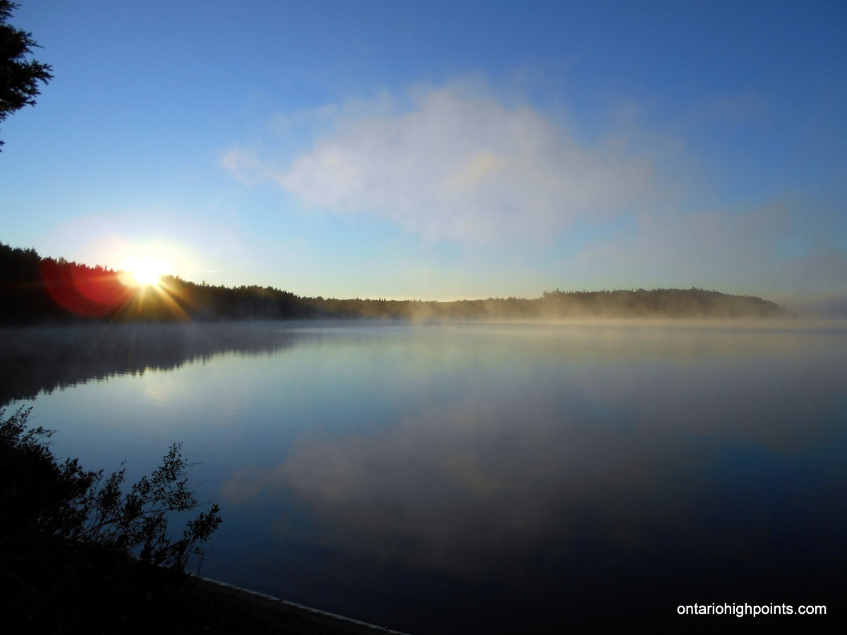
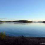
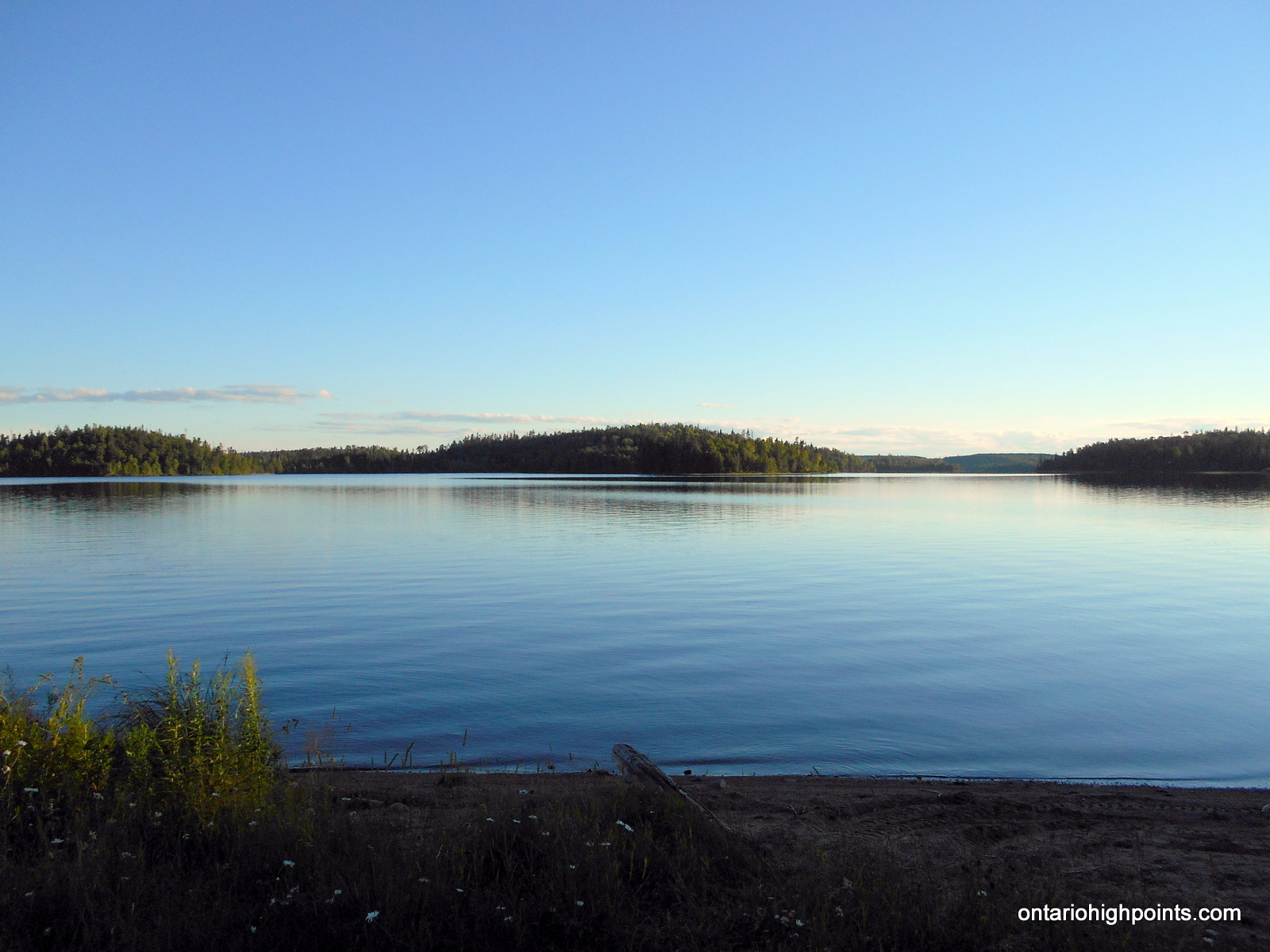
- Morning on Marks Lake
-
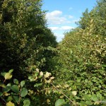
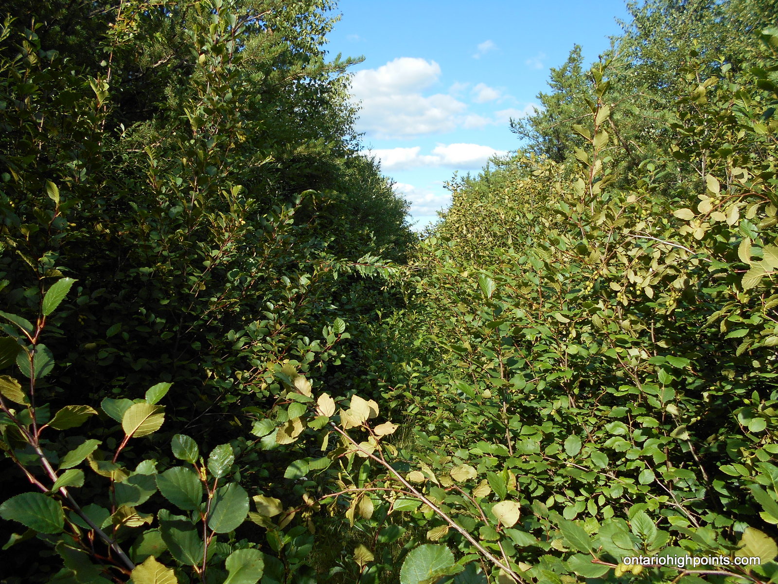
- Road overgrown with Alder
-
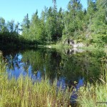
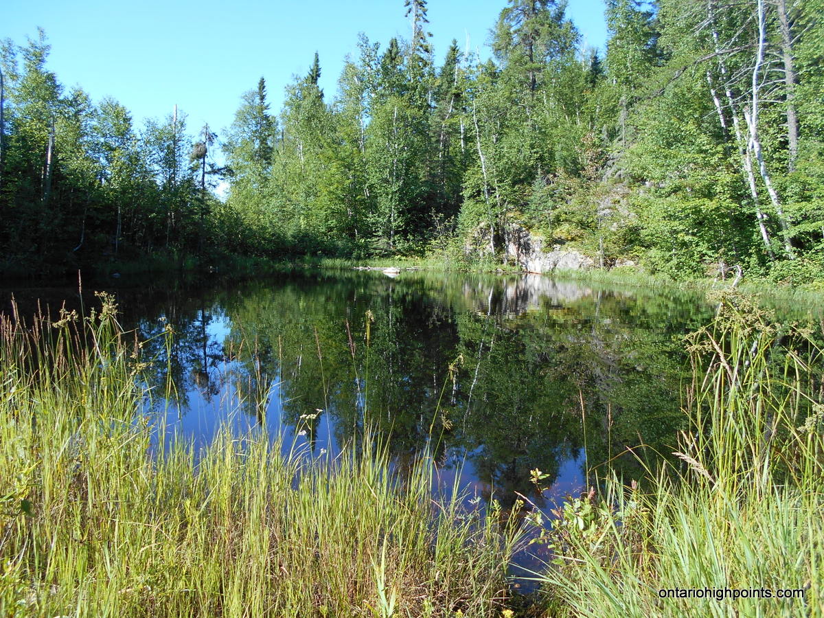
- Small Pond on Route
-
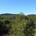
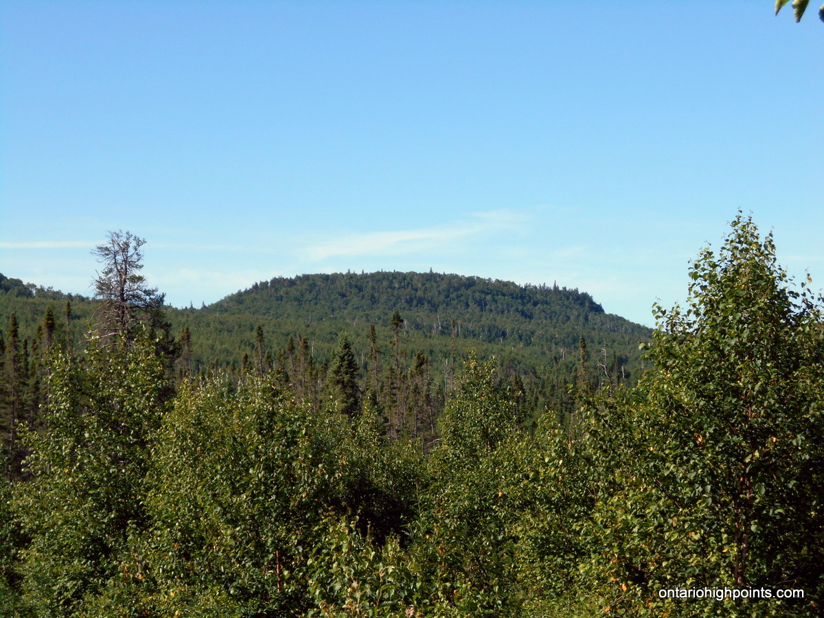
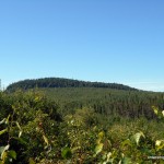
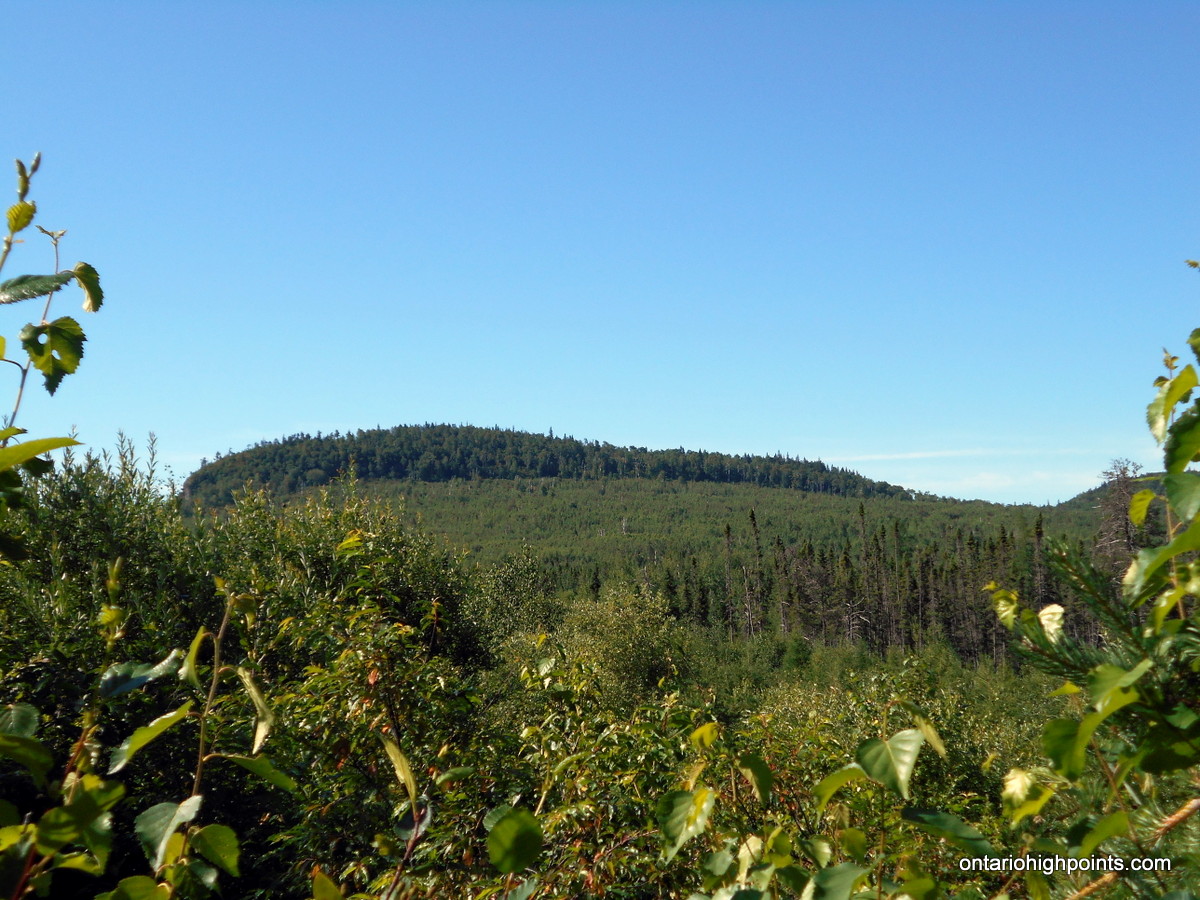
- Head Lake Peaks East and South

-
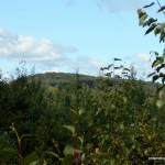
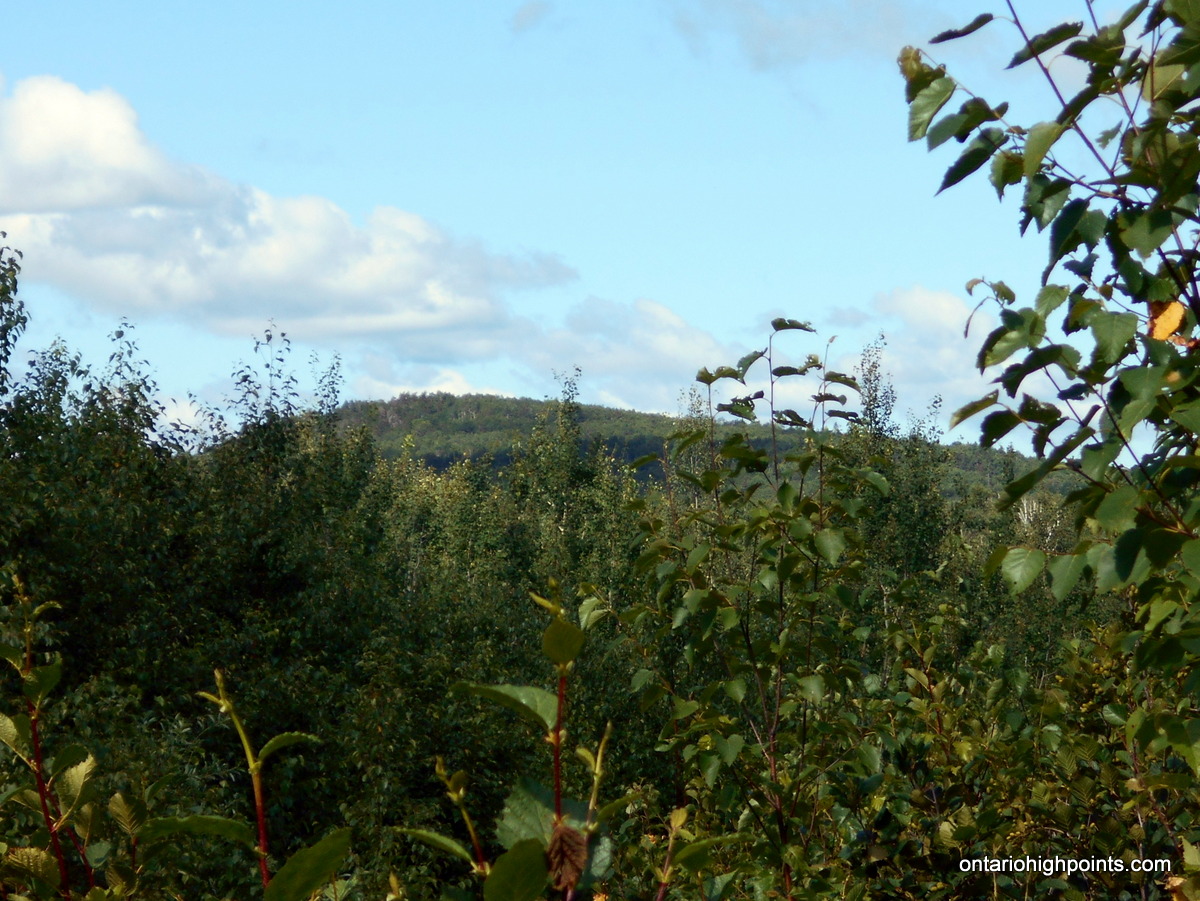
- Head Lake Peak East
-
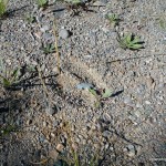
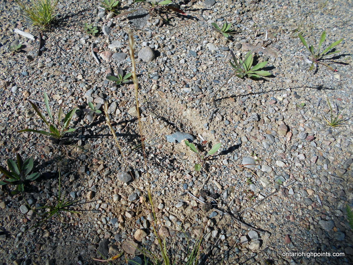
- Moose Track
-
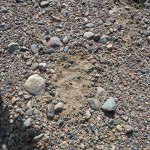
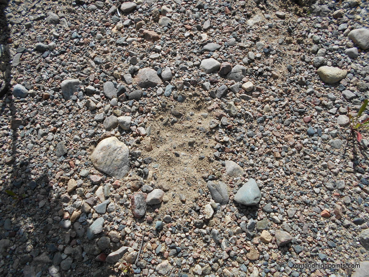
- Wolf / Coyote Tracks?
-
- Head Lake Peak West
-
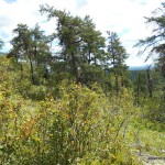
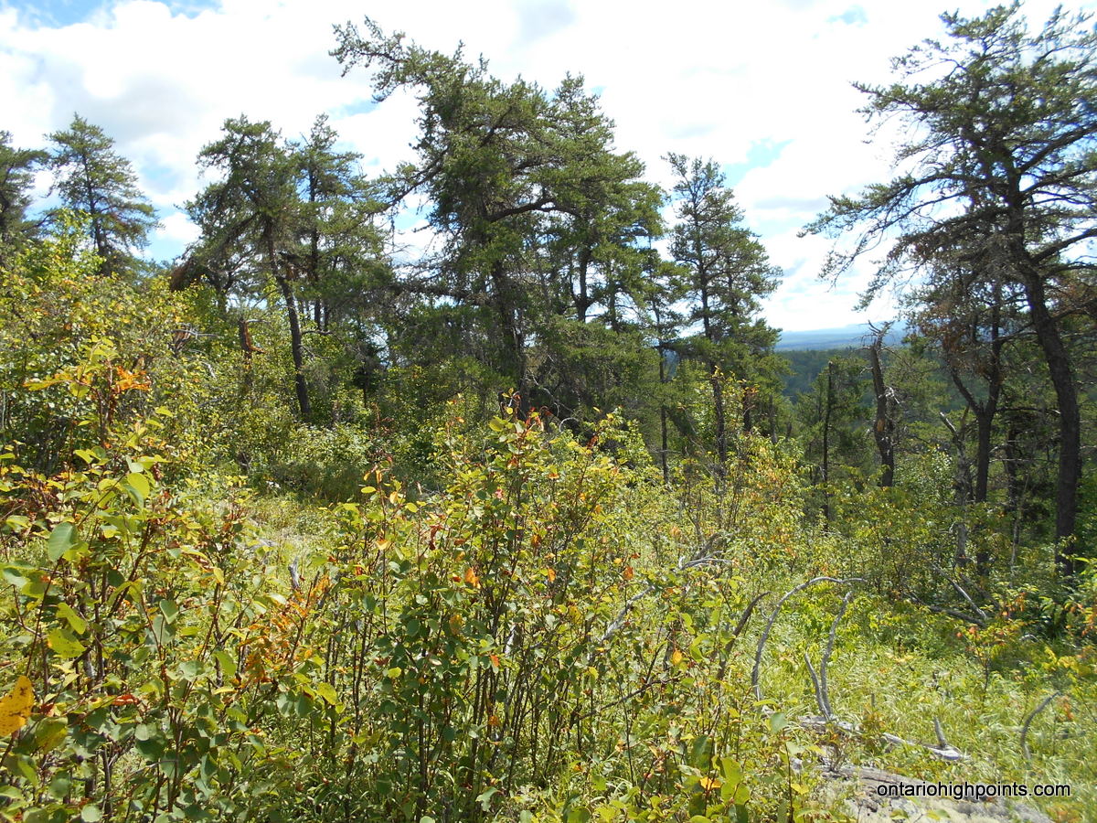
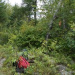
- Summit Area on Head Lake Peak South
-
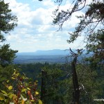
- View from Summit Area
-
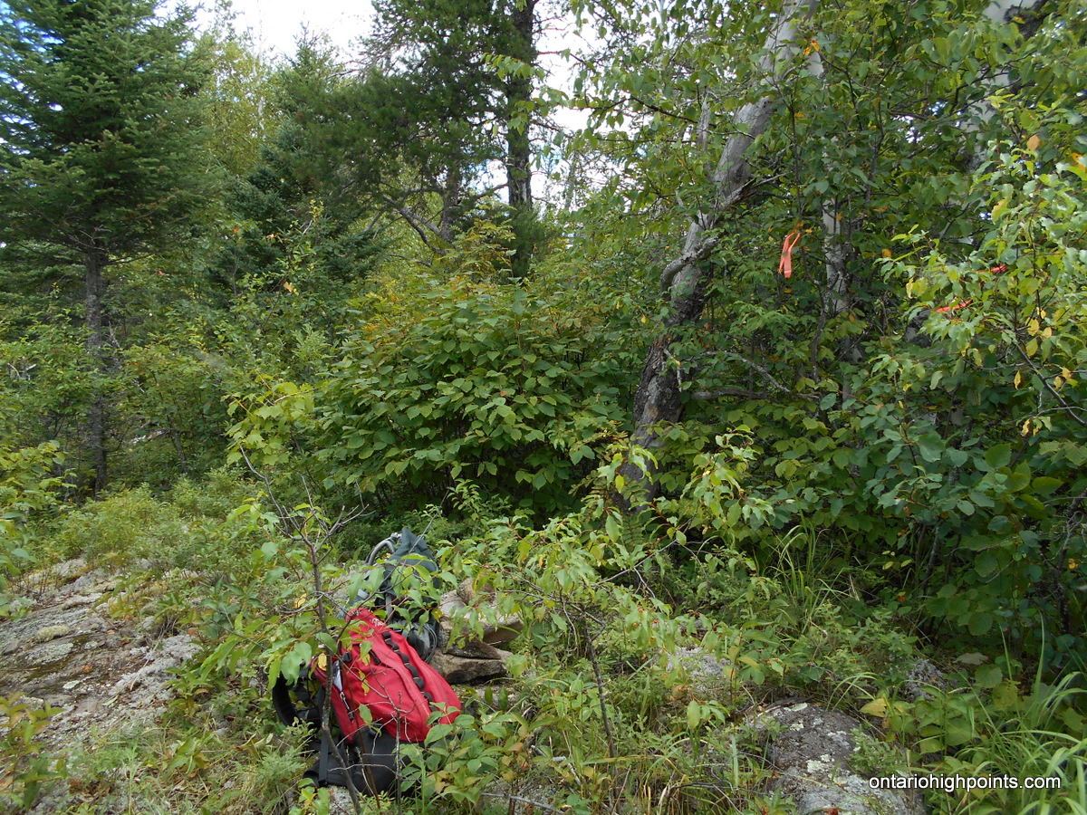
- Highest Point on Head Lake Peak South
-
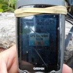
- GPS Elevation
-
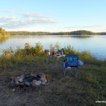
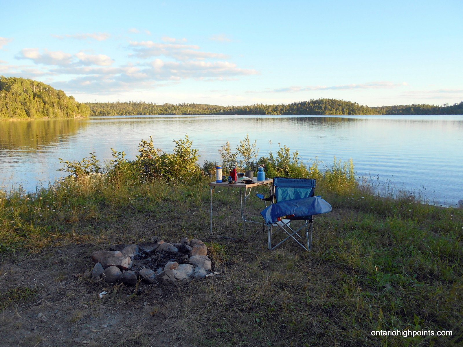
- Table is set up at campsite on Marks Lake
-
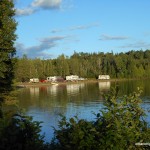
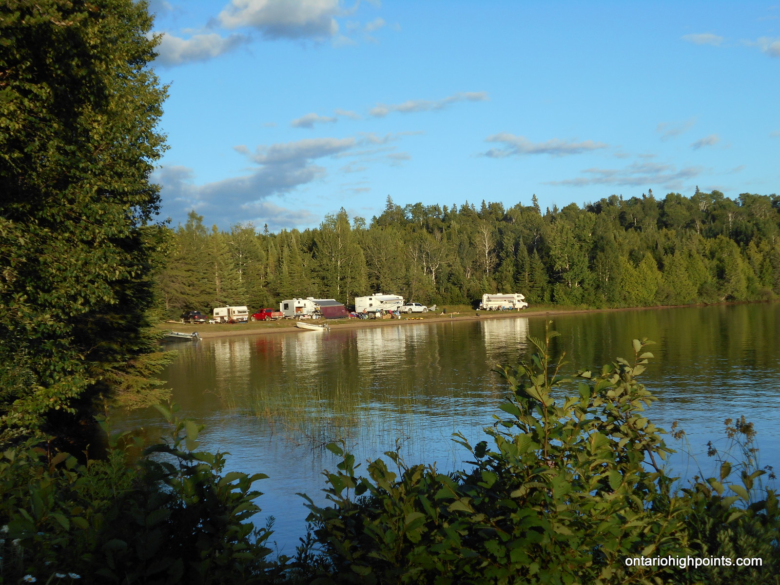
- Private Camp on Marks Lake
-
- Marks Lake
Trip Report:
Ben and I awoke at dawn at our campsite on Marks Lake. The cool night had deposited a heavy dew over everything. After a quick breakfast, we drove east along Marks Lake Road to the intersection with an apparently seldom used overgrown road, now turned quad path. We parked at the intersection and readied ourselves for an ambitious day: the plan was to make the treks to Head Lake West Peak, Head Lake South Peak and Tower Mt. To assist us in this endeavour, we brought our bikes with the hope we’d be able to bike the roads to the start of the bushwhacks.
We departed the intersection and started biking south along the road, but after less than 1 km of tough going, we decided that the road was just too overgrown with tag alder to continue on bike. In the 7 years since my previous visit to the area, the road had become a lot more overgrown. My plan to hike to Tower Mt, Head Lake South Peak and Head Lake West Peak all on the same day had to be modified. We would focus on Head Lake South Peak and Tower Mt., and leave Head Lake West Peak for tomorrow via a different route from the west. The first objective would be Head Lake South Peak.
We stashed the bikes in the woods and continued on foot. Even though the road was completely overgrown in many spots, the road surface was level and in good shape with few ruts or boulders.
Our clothing soon became soaked due to the abundance of dew on the foliage that we frequently brushed against. Luckily by midday, the sun had burned off the dew and now our cloths could begin to dry up. As we neared the end of our road hike, we were surprised by wolf/coyote howls that sounded very close. We shouted and banged sticks together to scare them off, and soon the howls became more distant and more infrequent. We continued south along the road and arrived at the coordinates where I figured we were closest to Head Lake South Peak — the start of the bushwhack.
The ‘whack’ to Head Lake South Peak was made difficult due to the thickly forested understory — it took over an hour to go 1 km. The summit was more openly forested and had some limited views. We found the highest point fairly easily –a lichen/moss covered road outcrop at the center of the contour.
After a brief rest at the summit, we bushwhacked back to the overgrown road and then retraced our steps back to T-Junction (kilometer 8.0).
At the T-Junction we turned right (turned east) and headed to Tower Mt. See Trip Report to Tower Mt.
After arriving back at the T-Junction from Tower Mt., we hiked back north along the overgrown road and finally arrived back where we stashed the bikes. We coasted down a gradual hill, dodging the clumps of tag alder growing between the 2-tracks all the way back to the vans.
It was a very long 11.5 hour day in which we hiked a total of 30 kilometers along overgrown roads and through dense bushwhacks. We drove back to Marks Lake to camp. This time, we decided to try the 1st of the 2 campsites, which we had to ourselves.
GPS Tracklog (GPX Format):